Blog

Fremont’s Grand Union Streetcar Switch

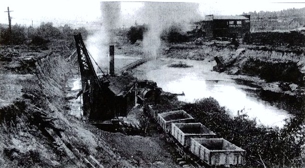
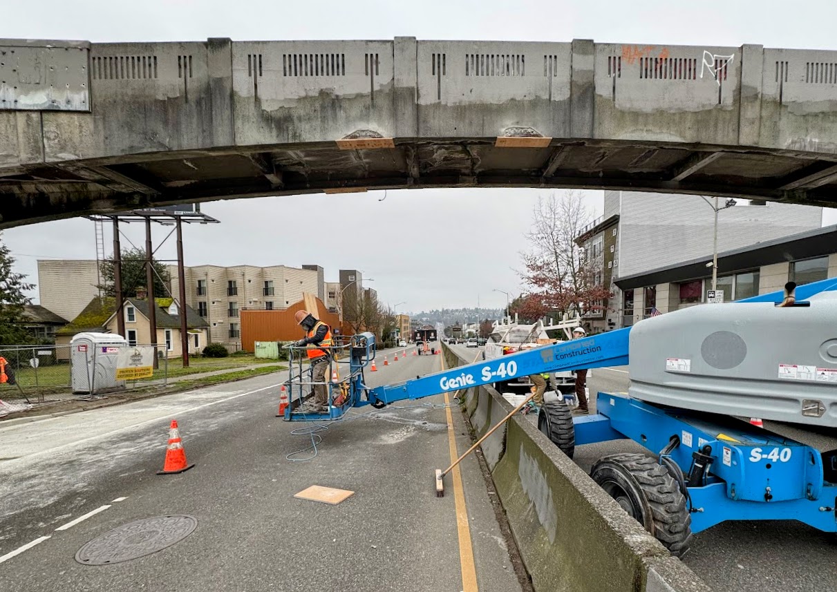
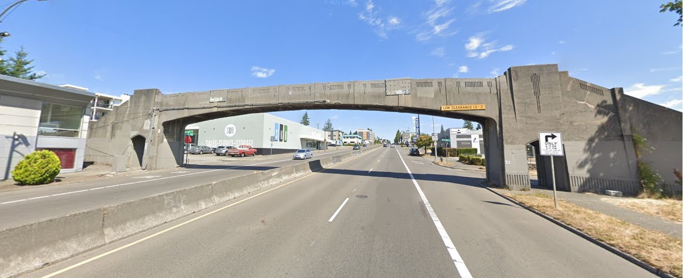
One of the reasons why Fremont was long regarded as the Center of the Universe was because of its convergence of streetcar lines. At the north end of the Fremont Bridge, in the spot where there is now the Waiting for the Interurban sculpture, there was a Grand Union track layout for streetcars to turn or go straight ahead, accommodating all the lines that passed through. The car barn for maintenance was located just west of here, at 34th & Phinney, providing even more reason for streetcars of different routes to make their way through Fremont.

Sadly, the Seattle streetcar system deteriorated, and the decision was made to convert to a bus system. The last streetcar went to the Fremont Car Barn on April 13, 1941.

In 1940 an article in the Seattle Times told of the coming shut-down of the streetcar system, with this photo of the four-way switch:

Once the pride of the Municipal Street Railway and the only one of its kind west of Chicago, the four-way streetcar switch at North 34th Street and Fremont Avenue, at the north end of the Fremont Bridge, will be removed as part of the city’s change from streetcars to buses and trackless trolleys. Called a “Grand Union Track Layout,” it cost $48,000 to build and install in 1923, a streetcar entering from any direction may turn either way or go straight ahead. The switch was so complicated the Bethlehem Steel Works assembled it first at the steel mill to see if it would work, before sending it here.” (Seattle Daily Times, February 15, 1940, page 4).

For further reference: “Street Railways in Seattle,” HistoryLink Essay #2707 by Walt Crowley, 2000.

Fremont and Seattle’s Ship Canal

Looking west in Fremont during the ship canal construction in 1912. Photo courtesy of MOHAI 83.10.69.32

Seattle’s earliest white settlers saw immediately that it would be possible to connect its freshwater lakes to the saltwater Puget Sound by means of a canal.  At a Fourth of July picnic in 1854, Thomas Mercer proposed the name of Lake Union because that body of water was in the middle between Lake Washington to the east and Puget Sound to the west.

Seattle settlers of the 1850s Thomas Mercer and David Denny took land claims at the south end of Lake Union near today’s Seattle Center.  Two single men, John Ross and William Strickler, searched out the land and in 1853-1854 they took claims at the northwest corner of Lake Union, which today is the Fremont neighborhood.  It was not until 1911-1917 that a ship canal was constructed which was large enough for industrial use.

From those earliest times in the 1850s Seattle settlers thought to build a ship canal but little did they know that it would take more than sixty years to come to fruition.  Finally in 1911 all of the needed legislation, financing and public support came together to start construction to create the Lake Washington Ship Canal. 

Continue reading “Fremont and Seattle’s Ship Canal”

The Fremont Bridge

Not every neighborhood has a bridge, and the Fremont Bridge has been the defining characteristic of the neighborhood since its founding in 1888.

At first there was only a stream, called The Outlet, flowing westward from Lake Union out towards Puget Sound, with a small wooden bridge to span it. Early in neighborhood history, Fremont’s boosters arranged for streetcars to come to Fremont and for this reason a more substantial trestle bridge had to be built, though it was also of wood construction.

Street railway historian Leslie Blanchard described the approach to Fremont in 1902: “then along Westlake Avenue to the foot of the old Fremont Bridge, where streetcar passengers beheld a scene bearing little resemblance to that which greets the traveler on that thoroughfare today. A rickety wooden bridge of antediluvian ancestry spanned a turbid and sluggish stream, from which small boys of the Fremont area snared salmon with bent pins fastened to broomsticks.”

The Fremont Bridge was rebuilt several times. As the stream was widened to improve access for boat traffic, the elevation of the bridge had to be increased until its span reached North 34th Street as it does today. During the ship canal construction in 1914 the bridge was washed out by a dam break. A temporary Stone Way bridge was built to use until the ship canal was finished.

Upon completion of the Lake Washington Ship Canal project, the present bascule Fremont Bridge opened to traffic on June 15, 1917. This rebuilding included capacity for auto traffic in addition to streetcar tracks. The streetcar era in Seattle ended in 1941 but today, cars, buses, pedestrians and bicycles cross over the Fremont Bridge.

The Fremont Bridge was designated as a City of Seattle Historic Landmark in 1980, as characterized by its prominence of spatial location and its easily identifiable visual feature of the neighborhood. The Bridge contributes to the distinctive identity of Fremont.

Sources:

Leslie F. Blanchard, Street Railway Era in Seattle: A Chronicle of Six Decades, 1968.

Caroline Tobin, Fremont Historic Context Statement, 2009.

$40,000 Loss from Bursting Fremont Dam.” Seattle Daily Times, March 14, 1914, pages 1, 5, and 12.

“Building permits, Carl Signor, 2944 Westlake Avenue, build two-story frame store building.”  Seattle Daily Times, August 18, 1904, page 7.

“Dam bursts on Lake Union… March 13, 1914.”  HistoryLink Essay #20222 by David B. Williams, 2016.

Fremont Bridge — National Register of Historic Places.

Seattle Municipal Archives, photo number 2787, Signor grocery building.

“Wood trestle spans canal and connects Seattle’s Fremont neighborhood with the foot of Queen Anne Hill in 1892.”  HistoryLink Essay #3309 by Priscilla Long.

“Fremont Bridge.” HistoryLink Essay #20374 by Glenn Drosendahl.  This essay gives the timeline of the series of bridges which were built at Fremont, culminating in the present bridge.

North 41st Street Pedestrian Bridge Seismic Retrofit

Major construction work to retrofit the North 41st Street Pedestrian Bridge across Aurora Ave North is expected to be complete by April 2025. Construction crews have reinforced the bridge’s footing, installed carbon fiber wrapping to strengthen its towers and piers, and replaced damaged concrete including nearby sidewalks and curb ramps.   

Construction workers using a lift to perform maintenance on a pedestrian bridge over a busy street. Traffic cones and barriers are in place.
The photo above shows crews working on seismic retrofit for the N 41st St Pedestrian Bridge, earlier this month (SDOT). 

Due to recent weather conditions, crews have been unable to paint the carbon fiber they installed to strengthen the bridge and finish minor restorations. Once the crews are able to complete this work, we’ll remove the traffic control measures in place. Full project completion is expected by spring 2025. 

Safety Reminders

  • Street Closure: N 41st Street is closed between Linden Ave N and Whitman Ave N until construction is complete. This closure ensures safety for everyone traveling and allows crews to work as efficiently as possible.
  • Lane and Sidewalk Closures: Sidewalks, crosswalks, and one bus lane on Aurora Ave N (either northbound or southbound depending on where work is occurring) will be temporarily closed at times to safely divert people walking, rolling, biking, and driving away from where work is occurring. Please follow all detour signs in place.  

Project Overview

Earthquakes could have a major impact on Seattle’s infrastructure. To address seismic risks to city infrastructure, the City of Seattle established a bridge seismic program to assess how vulnerable the City’s bridges were to earthquakes, and to reinforce bridges to better withstand the potential impacts of an earthquake. 

As part of the Levy to Move Seattle, 16 bridges were selected for seismic reinforcements, including the N 41st Street Pedestrian Bridge. The N 41st Street Pedestrian Bridge is an older bridge constructed in 1936 and provides a more direct connection across Aurora Avenue for the north Fremont neighborhood.  

A concrete pedestrian bridge with an art deco design spans across a multi-lane road. The bridge shows visible wear, and a low clearance sign is posted

The photo above shows the N 41st Street Pedestrian Bridge over Aurora Ave N before planned seismic retrofit improvements (Google Street view).

We’re not changing the current use and operation of the bridge. The N 41st Street Pedestrian Bridge seismic retrofit will strengthen existing bridge components and reduce the bridge’s vulnerability to earthquakes. Major construction work includes: 

  • Retrofitting the bridge’s footing.
  • Installing carbon fiber wrapping to strengthen the bridge’s towers.
  • Repairing cracks and damaged concrete.
  • Replacing bolts throughout the bridge.
  • Replacement of impacted concrete panels and curb ramps